Precision Agriculture Through Autonomous Drones | NIDAR 2025
National Innovation Challenge for Drone Application & Research (NIDAR) 2025
Representing our institution, Team Vihang proudly participated in the Precision Agriculture track, emerging as Top 10 Finalists with a collaborative multi-drone solution focused on intelligent crop monitoring and targeted pesticide application.
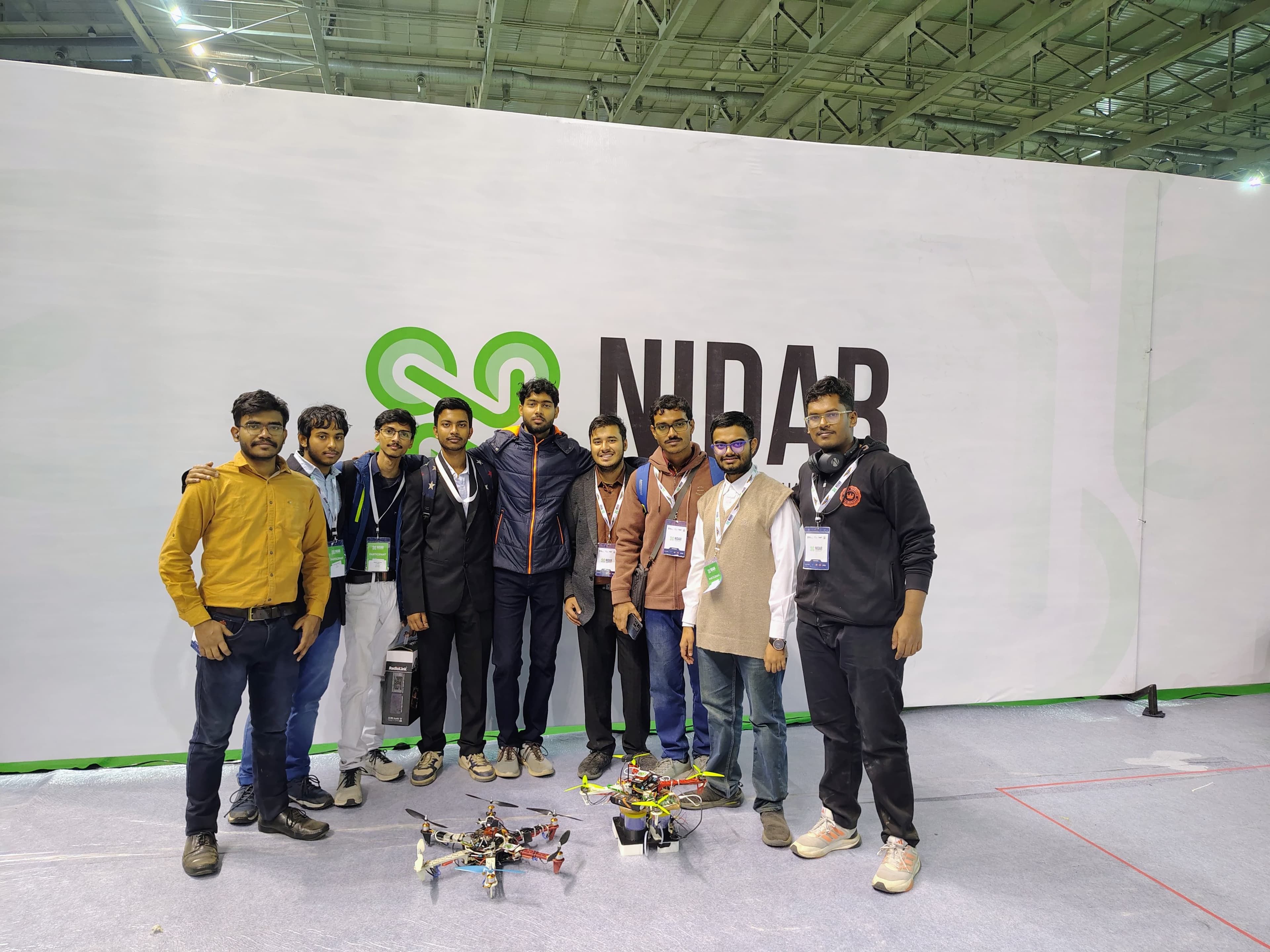
Indian agriculture is undergoing a technological transformation, driven by the need for sustainability, efficiency, and precision. At the National Innovation Challenge for Drone Application & Research (NIDAR), student teams from across the country came together to address real-world challenges using autonomous drone systems.
1. About NIDAR
The National Innovation Challenge for Drone Application & Research (NIDAR) is India’s largest national-level drone innovation competition. It is hosted by the Ministry of Electronics and Information Technology (MeitY) and Drone Federation India (DFI) under the SwaYaan Initiative.
Mission Parameters
The competition pushed teams to engineer drones capable of operating with precision and autonomy in real-world agricultural scenarios. The drones were required to:
-
Autonomously survey designated fields.
-
Accurately identify crop regions under stress.
-
Administer targeted pesticide sprays.
-
Navigate back to base for a safe landing without manual intervention.
The objective was intelligent decision-making in dynamic environmental conditions, demanding seamless integration of sensing, image processing, control systems, and navigation algorithms.
2. Team Vihang
Team Vihang is a multidisciplinary student team driven by innovation in autonomous systems and real-world engineering.
Members
Team Captain Trishit Debsharma
Engineering Team Atrayu Chakraborty, Arkoprovo Goswami, Subhrajit Mukherjee, Krishnendu Banerjee, Sajjad Ahmed, Raheel Bhattacharjee, Kaushik Samanta, Abhirup Guha Roy
The team worked collaboratively across system design, autonomy, control, and integration to develop a scalable and efficient drone-based solution.
3. Our Solution: Collaborative Dual-Drone System
Our solution was built around a coordinated aerial ecosystem—two purpose-driven drones working in seamless synergy.
A. Autonomous Scanning Drone
This drone was designed for intelligent field surveillance.
-
Flight Controller: Pixhawk Cube Orange+ for reliable autonomous navigation.
-
Onboard Processor: Raspberry Pi, which analyzed imagery to detect crop stress using custom image-processing pipelines.
-
Output: The drone mapped the field, identified stressed regions, and generated precise GPS-tagged coordinates for our custom Ground Control Station software.
B. Autonomous Spraying Drone
This second drone was built exclusively for targeted pesticide deployment.
-
Flight Controller: Pixhawk Cube Orange+ for stable flight and waypoint navigation.
-
Function: Using coordinate data from the scanning drone, it navigated to affected zones and performed localized spraying with high positional accuracy.
-
Impact: This system eliminated unnecessary pesticide usage over healthy crops, reducing environmental impact while maximizing efficiency.
4. Outcomes and Engineering Significance
The system emphasized several critical engineering milestones:
-
Collaborative autonomy using multiple drones.
-
Precision agriculture through targeted intervention.
-
Reduction in pesticide wastage and labor dependency.
-
Scalable deployment for large agricultural fields.
Final Result
Team Vihang’s solution was selected among the Top 10 Finalists at NIDAR, marking a significant achievement at the national level. The competition provided valuable exposure to industry-scale problem statements and rigorous evaluation standards.
5. Our Vision
Through NIDAR, Team Vihang aims to contribute to the future of technology-driven sustainable agriculture. The challenge reinforced our belief that intelligent autonomous systems can play a transformative role in addressing real-world problems.
For us, NIDAR was more than a competition—it was a step toward redefining how autonomy and sustainability intersect in the fields.